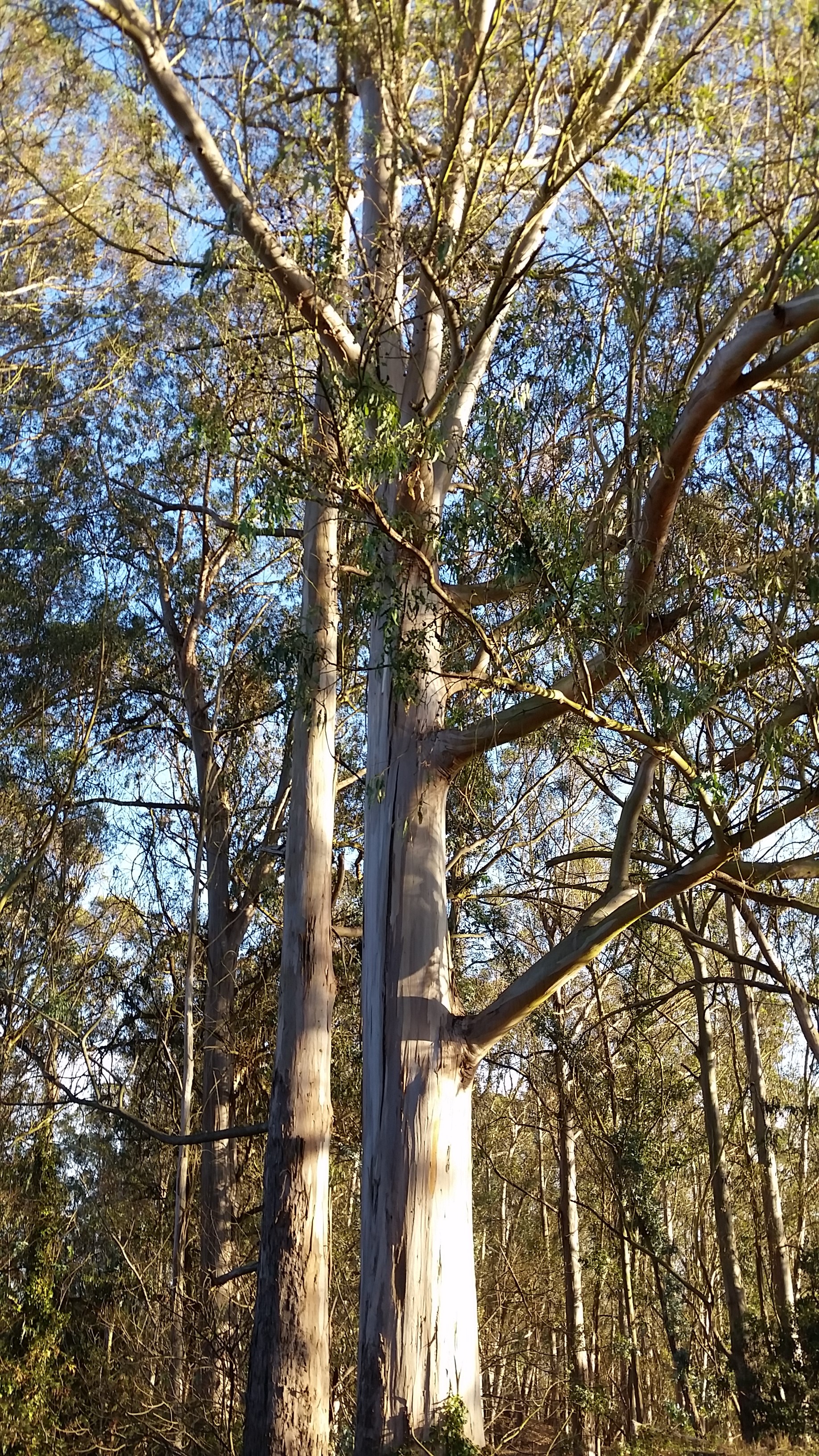
There are other countries in the world that enjoy divinely inspired natural landscapes, but Costa Rica boasts a higher biodiversity than Europe and the United States combined. Its small size also means that travelling from cloud forest to coastline and from summit to savanna is quick, easy and a matter of course.

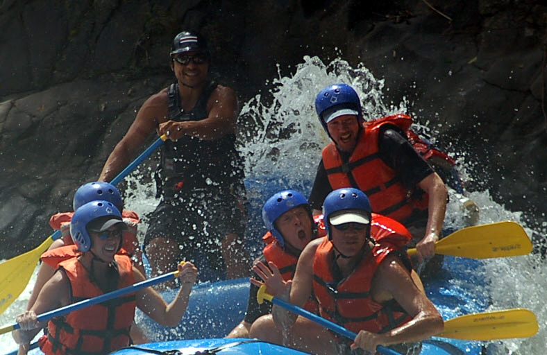
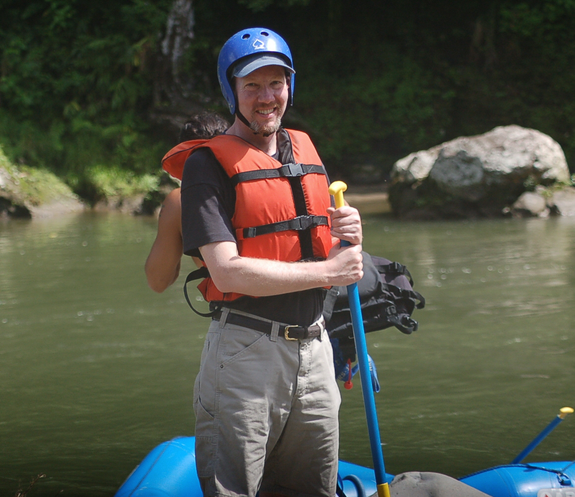
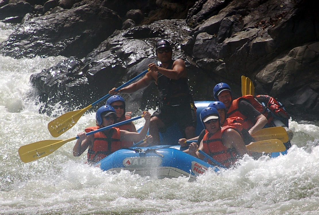
Pacuare River
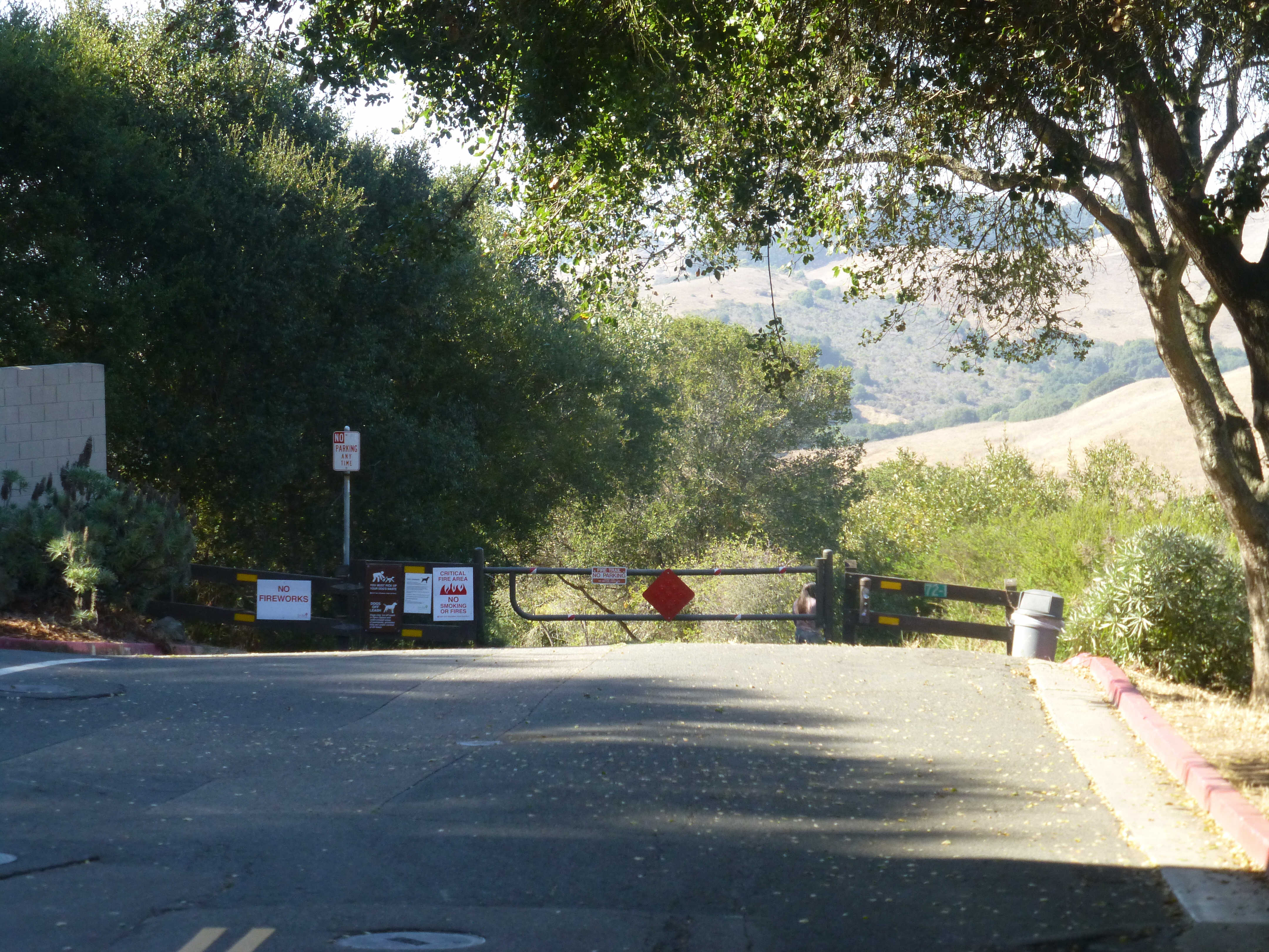
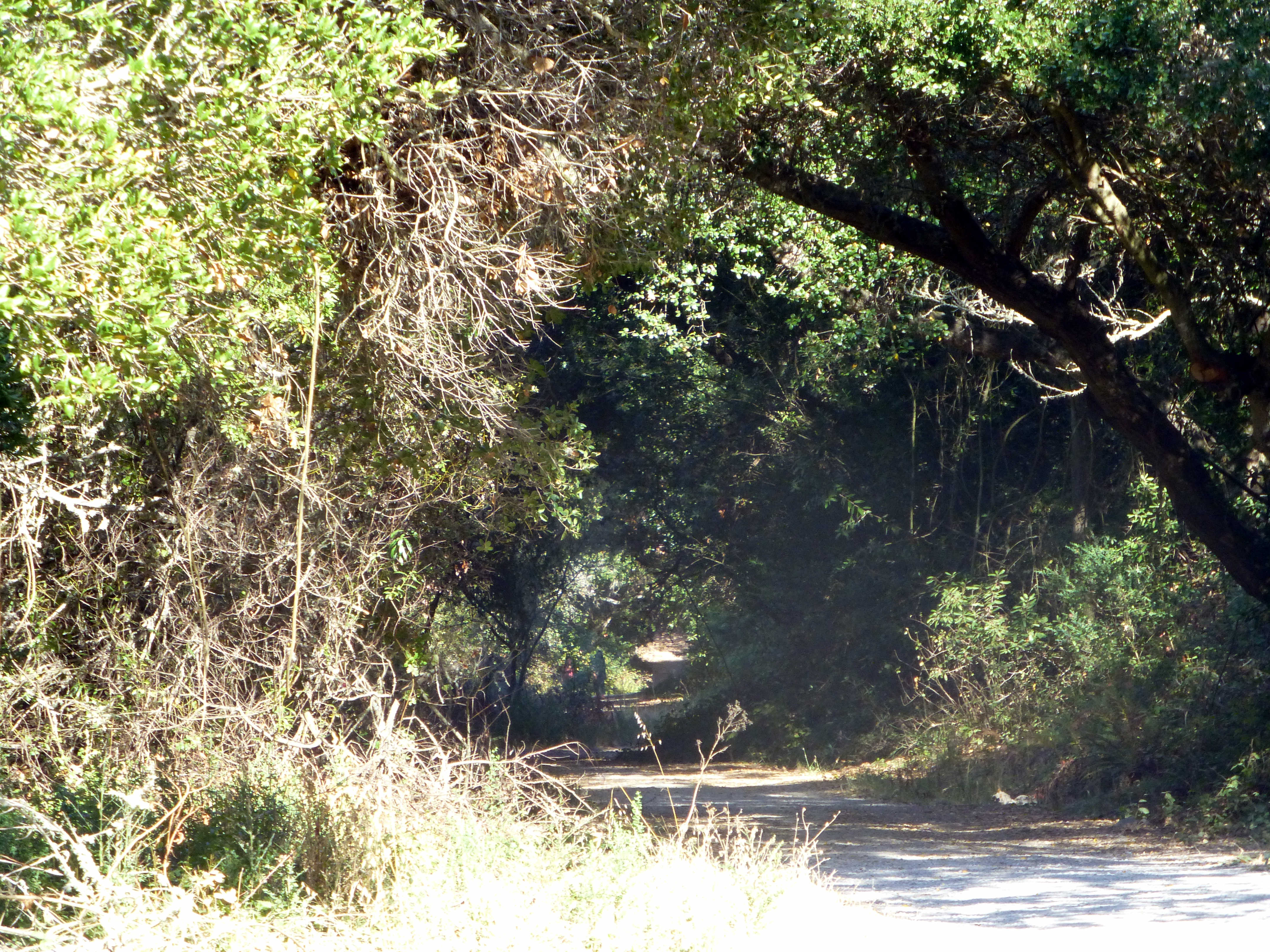
The Pacuare River, or the Río Pacuare,and flows approximately 108 km to the Caribbean. It is a popular location for white water rafting, whitewater kayaking and riverboarding. The rainforests that surround the river are home to exotic animal species such as jaguars, monkeys, ocelots, and a very large number of birds.[1] Also it was considered one of the 5 nicest rivers to practice rafting.

In January, the water wasn’t at its highest, but there were a fair number of rocks.

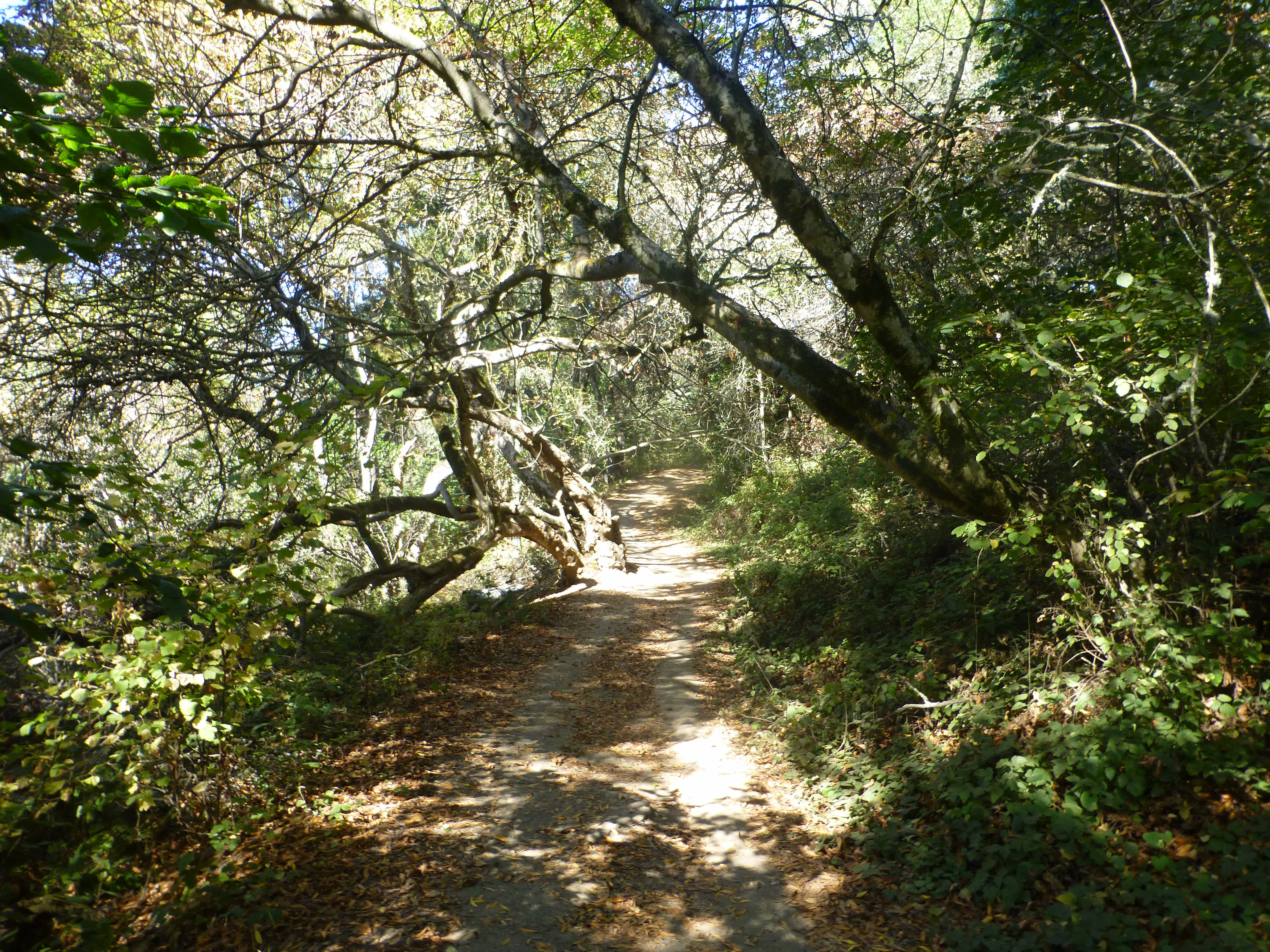
This Lower Section of class III and IV whitewater is the part of the Pacuare River that is most famous. Flowing approximately 23 miles (and dropping approximately 1200 feet) from Finca La Cruz to the town of Siquirres. The run can be done in a single day trip or as long as a three day trip. The highlights of this section include the whitewater rapids and the waterfalls that flow into the river in the Huacas River Gorge. The rapids include Upper and Lower Huacas (class IV), Double Drop (class III), Cimarones (class IV) as well as multiple others.

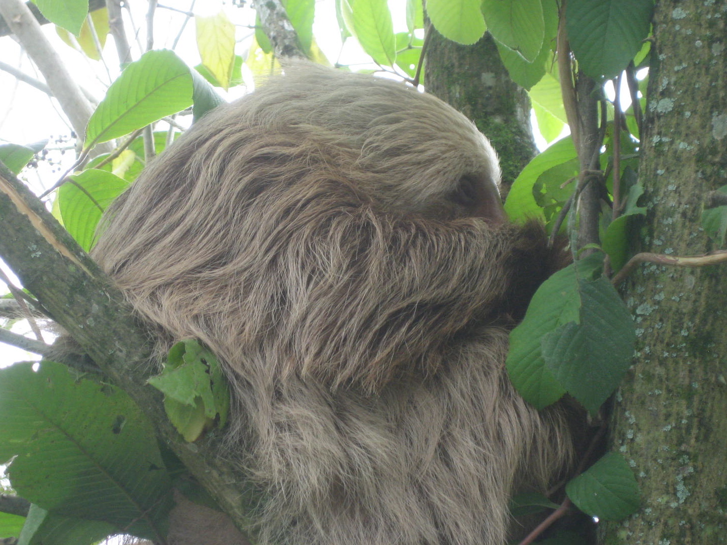
Perezoso
The three-toed sloth is active during the day, unlike the nocturnal two-toed sloth, and so is seen more often. This sloth only eats leaves from trees and lianas, but may feed on fifty individual trees of up to thirty species, eating leaves of different ages. Sloths live, feed, mate, and reproduce near the upper levels of the forest canopy. They move to a new tree often enough to balance their diet, or about once every 1.5 days. Home ranges of different individuals may overlap considerably and females tend to be more social than males, but usually one adult (or female with young) will occupy a tree at any given time. Sloths may use different food sources depending upon what their mothers taught them to eat.
Though large for an arboreal mammal, the three-toed sloth must also be light for its size to live in the treetops, so it has reduced muscle mass. They also have an enormous gut capacity-nearly 30% of their body weight! The sloth’s diet of leaves is digested very slowly, so they need a large capacity. Sloths consume a significant amount of leaf material in a forest (about 2% of total annual leaf production in Panama). They have a slow metabolism, though, so they have thick fur to insulate them when their body temperature drops at night; their temperature peaks during the day when they bask in the sunlight.
About once a week, the sloth descends from its lofty living space, digs a small hole with its stubby tail, defecates and urinates in the hole, then covers it with leaves using its hind legs and return to its preferred heights. This ordeal lasts less than 30 minutes, but during this time the sloth is vulnerable to predators. While mortality of young sloths is high, individuals that survive to adulthood suffer low mortality rates; they are recorded to live as long as 9 to 11 years, and are thought to live as many as 20 to 30 in the wild.

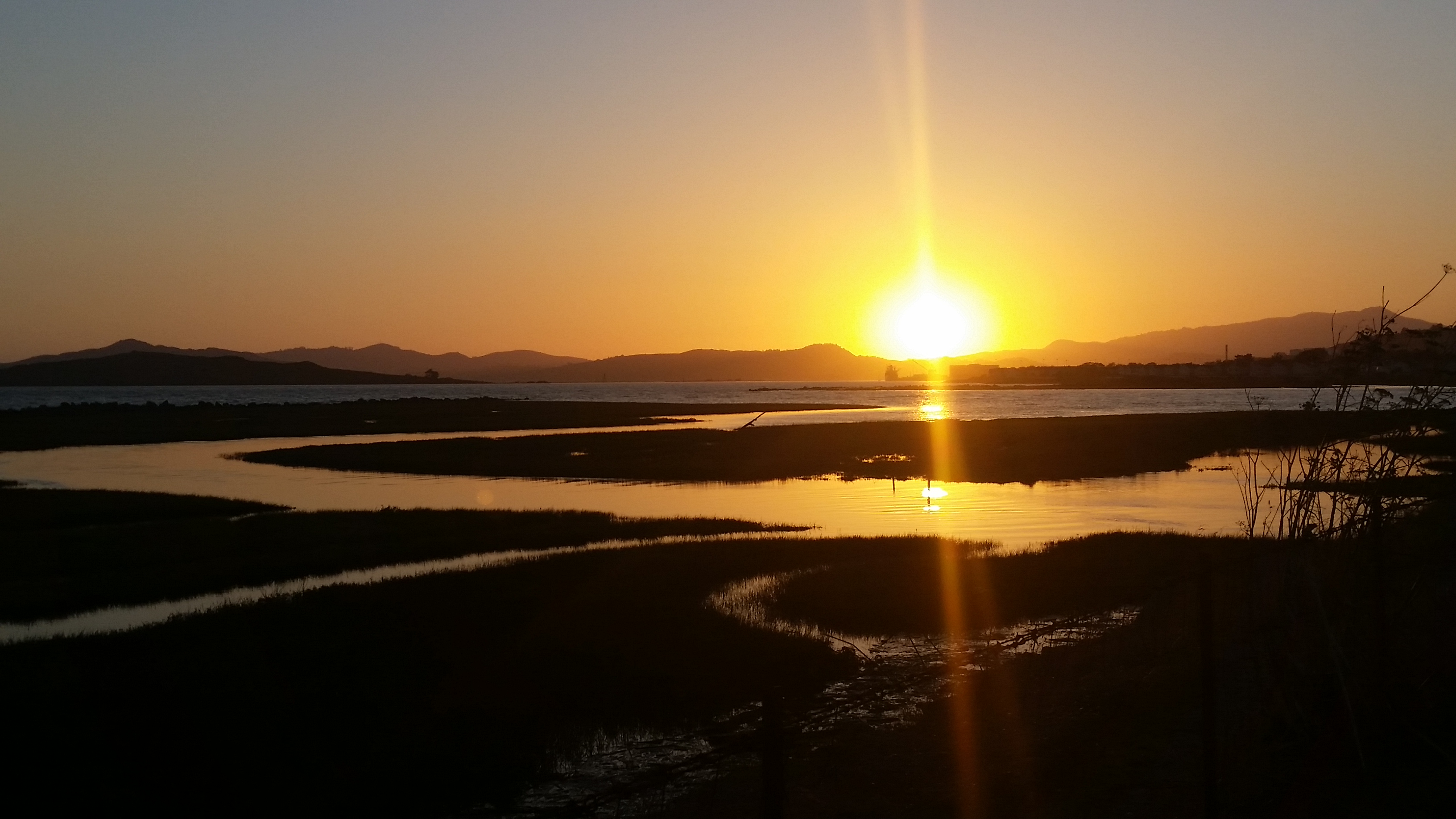
Lazing in the Sun
In October 2013, surfer Adán Rivera was attacked by a crocodile on Tamarindo Beach, and he lived to tell the story. But that story has a different protagonist than you might expect – the reptile.
“The crocodile had as much a right to be there as I did, if not more,” Rivera said in an interview with The Tico Times a few days after the incident. He seemed miffed that there had been a question of whether authorities would remove the animal, and recounted the incident as if it were merely a temporary setback.
The attack took place on the morning of Oct. 13, when the experienced Spanish surfer was teaching his girlfriend, Natali Latite, how to ride a wave at the popular beach town in northwestern Guanacaste Province. In chest-deep water, Rivera propelled Latite into an oncoming swell and waited for her to swim back. That was when Latite noticed the crocodile and panicked.
“She yelled to me, and I turned and saw the animal,” Rivera said. “I began trying to sneak away without drawing attention, but the croc saw me, grabbed my finger and scratched my shoulder a bit. Then it swam off.”
That’s a very low-key version of the story The Tico Times heard from surf instructor Luis Sequeira, an apparent witness to the attack, who also claimed to have saved Rivera by scaring the crocodile away. But Rivera says he never saw or spoke with Sequeira. Two Swiss surfers whom Sequeira also claims to have saved have not responded to requests for an interview.
Regardless, an injured Rivera checked in to Clínica San Gabriel in Villa Real, where Dr. Gabriel Muñoz patched him up and told to stay out of the water to avoid infection. Rivera and Latite then switched hotels and stuck to land tours, waiting for Muñoz’s permission to surf again. That’s when Rivera became outspoken on the crocodile’s right to inhabit its own territory. The apparent crocodile aficionado also speculated as to why the animal might have attacked, downplaying the danger.
“It wasn’t that big, maybe [6.5 feet] long and not very heavy,” Rivera said. I think it was young and didn’t have much experience hunting. … It was just confused.”

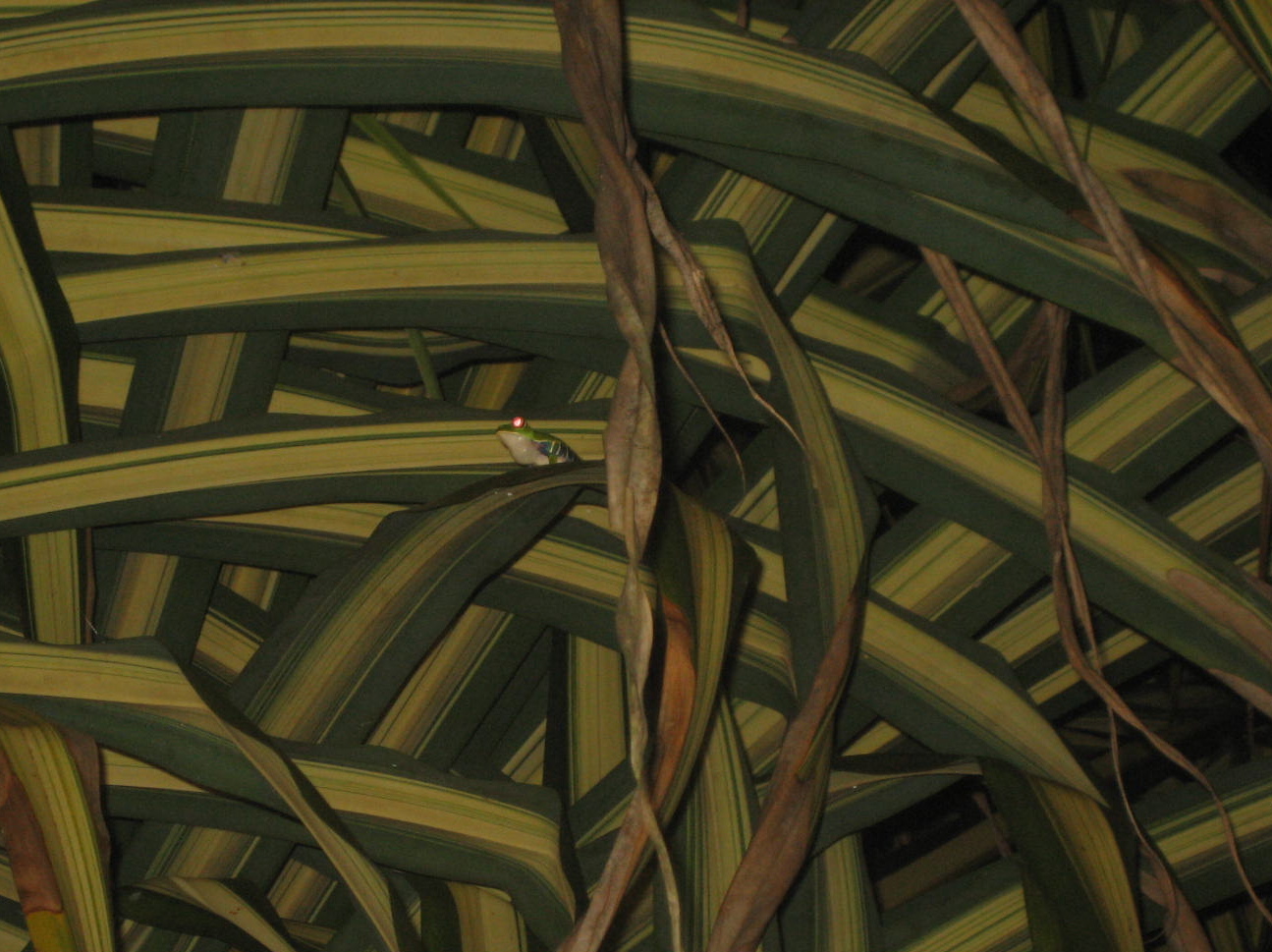
Frog at the Pool
Costa Rica lies squarely in the tropics, at a crossroads connecting North and South America. This “rich coast” country, is bordered to the east by the warm Caribbean, and the Atlantic Ocean, and to the west by the Pacific Ocean. In between these coasts, lie lowland jungles, mountain forest draped in mosses, alpine tundra, and dry forest–and all adorned with anurans (frogs and toads that is). Costa Rica hosts 133 species of frogs and toads placed into 8 families
In forests, ponds, swamps, and other ecosystems around the world, amphibians are dying at rates never before observed. The reasons are many: habitat destruction, pollution from pesticides, climate change, invasive species, and the emergence of a deadly and infectious fungal disease. More than 200 species have gone silent, while scientists estimate one third of the more than 6,500 known species are at risk of extinction. Species are disappearing even before they are described by scientists — a study published in Proceedings of the Nation Academy of Sciences last year found that 5 of the 30 species known to have gone extinct in Panama’s Omar Torrijos National Park since 1998 were unknown to science.
But the news gets worse. Chytridiomycosis — which is caused by a microscopic fungus called Batrachochytrium dendrobatidis (Bd) that lives in water and soil — is spreading, metastasizing across Central and South America, Africa, and Australia. Amphibians are even experiencing rapid decline in habitats unmarred by the pathogen, pesticides, or direct human influence. Research in Costa Rica has recorded a 70 percent decline in amphibians over the past 35 years in pristine habitats, suggesting that climate shifts are taking a toll. – See more at: http://news.mongabay.com/2011/0428-amphibian_rescue.html#sthash.CEAAXSCg.dpuf
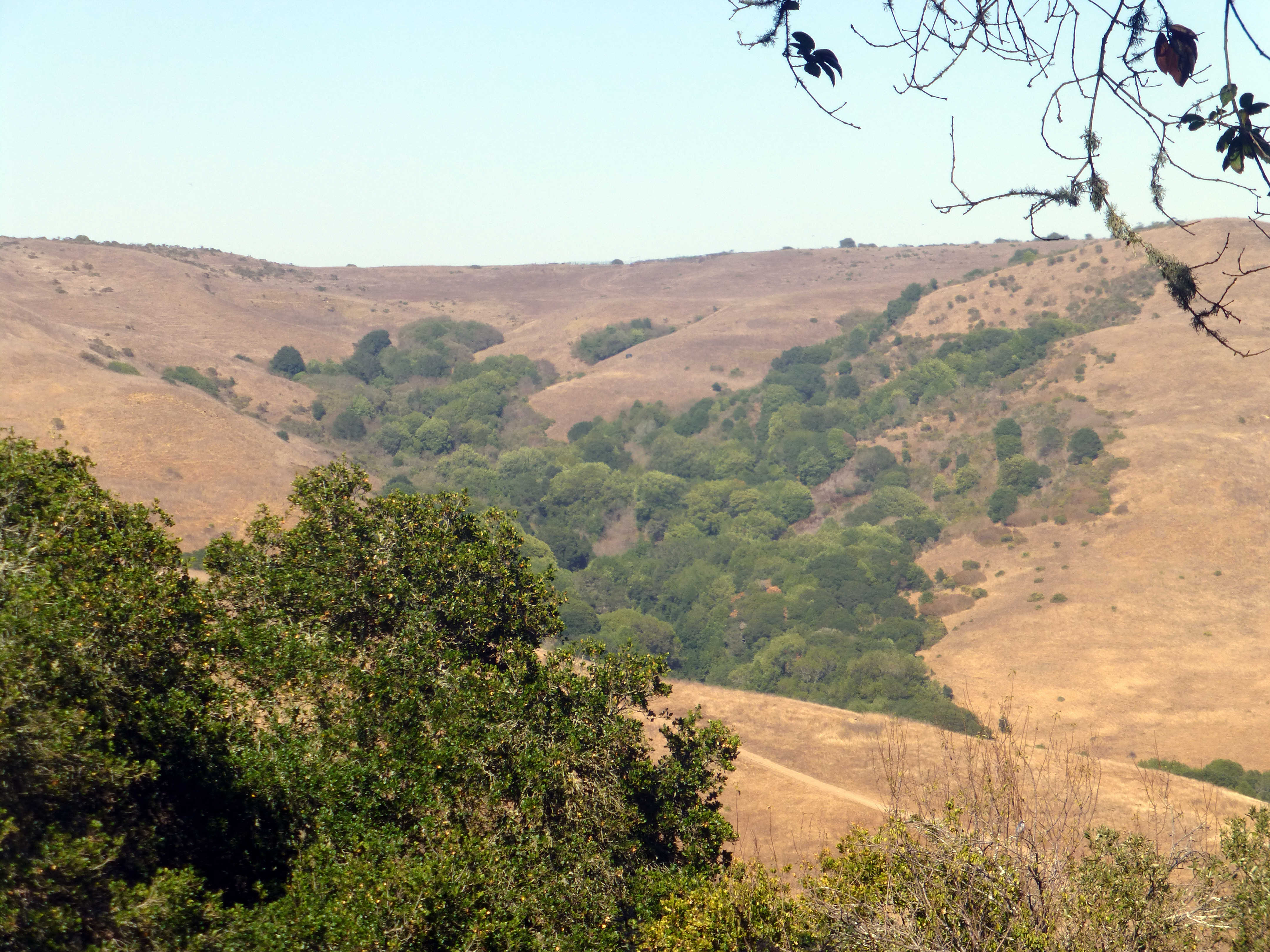
Tortuguero National Park is situated in extreme northeast of the country, reached only by airplane or boat. The park has a large variety of biological diversity due to the existence within the reserve of eleven different habitats, including rainforest, mangrove forests, swamps, beaches, and lagoons. Located in a tropical climate, it is very humid, and receives up to 250 inches (6,400 mm) of rain a year.
Tortuguero National Park
The area protected by Tortuguero (turtle catcher) National Park was an archipelago of volcanic islands until alluvial sediments from the interior mountains, filled in the spaces and formed a network of marshy islands. Sand piled up where the river deposited land met the sea, and the turtle nesting beaches of Tortuguero formed. The exceptionally high rainfall, and rich environment where the freshwater meets the sea makes the beaches, canals, lagoons and wetlands of Tortuguero areas of exceptional biodiversity, and opportunity for nature lovers.

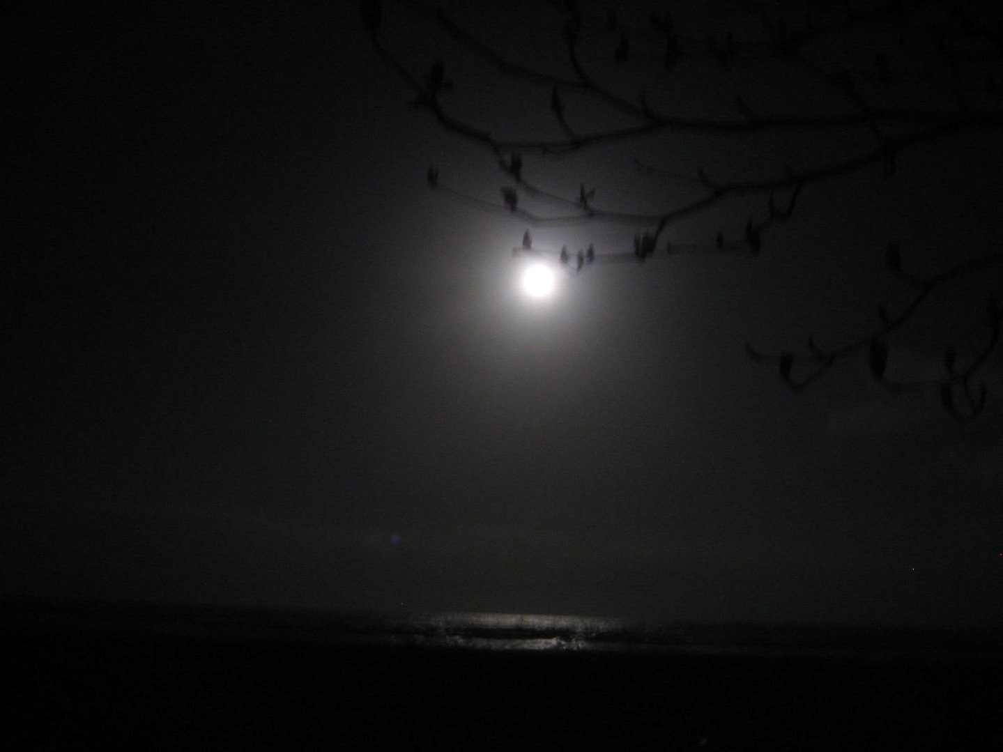
Moonlight Dreams
The main attraction of Tortuguero National Park is the turtles. Green Sea, leatherback, and Hawksbill turtles nest on the beaches here. Green Sea Turtles neared extinction due to hunting of the adults for meat (they are easy prey when they mass to nest) for turtle soup, and poaching of eggs for their supposed aphrodisiac qualities.
It’s possible to see stragglers laying eggs during the day, but the mass arrivals (arribadas) occur at night usually under a waning moon. You will need a guide to visit the beaches at night (no one is allowed on the beach unaccompanied after 6:00 pm). When you and your guide walk out onto the beach under the starlight to watch the turtles struggle up the beach, dig their nests and lay their eggs, think about their future.
If you are exceptionally lucky, you might chance to see an even more spectacular event, the newly hatched turtles race to the sea. There is some overlap of the nesting and hatching seasons for the different varieties of turtles. The eggs incubate in the warm sand for 7 to 10 weeks before the babies hatch, dig their way to the surface and make the long dark scuttle from the nest well above the high tide mark, across the beach to the surf.

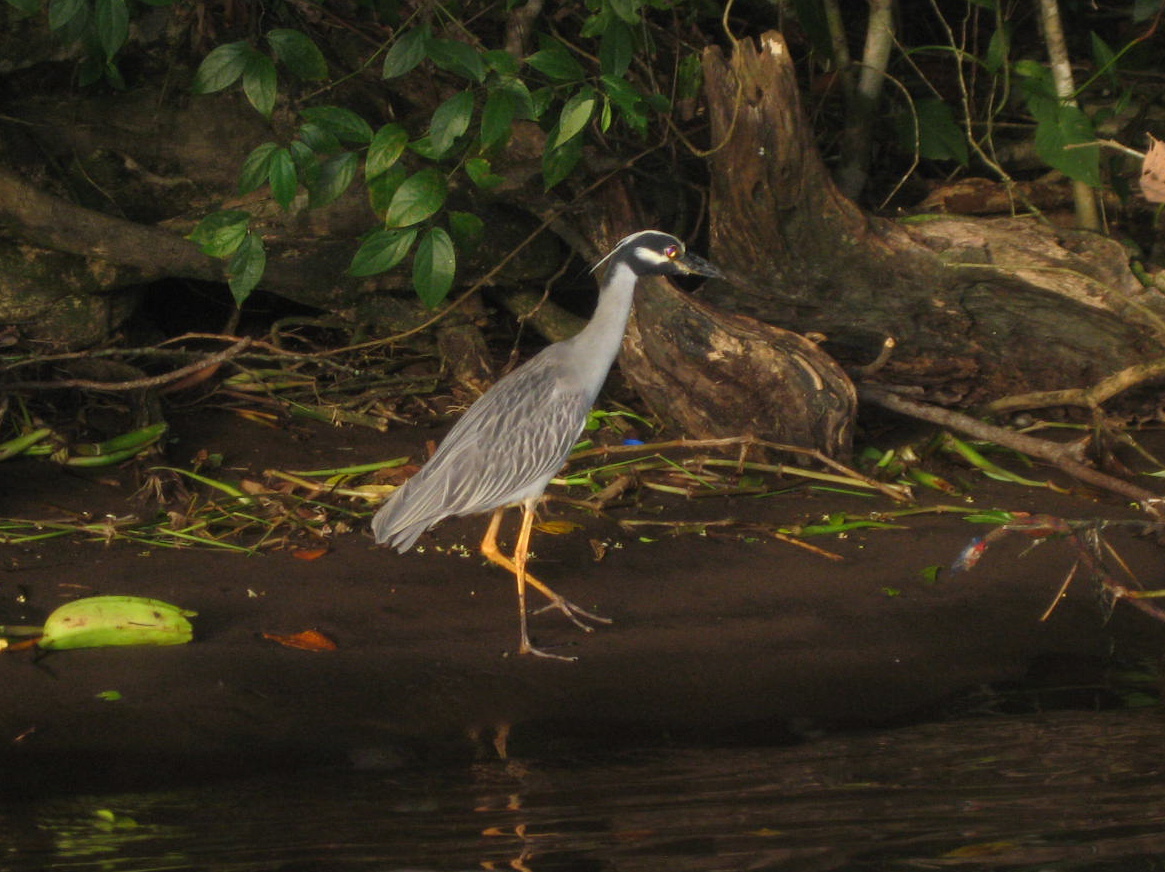
Heron
xxx

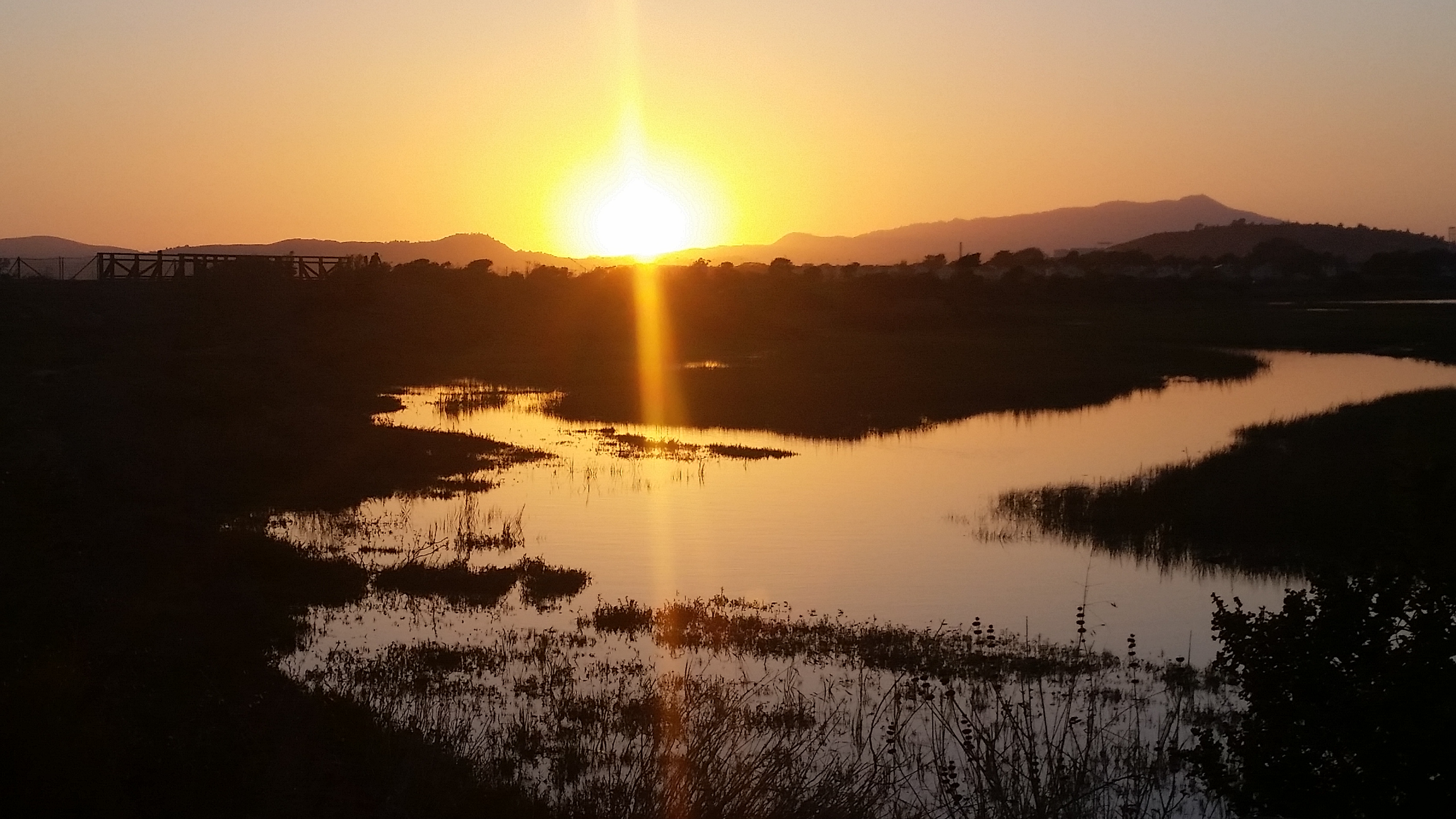
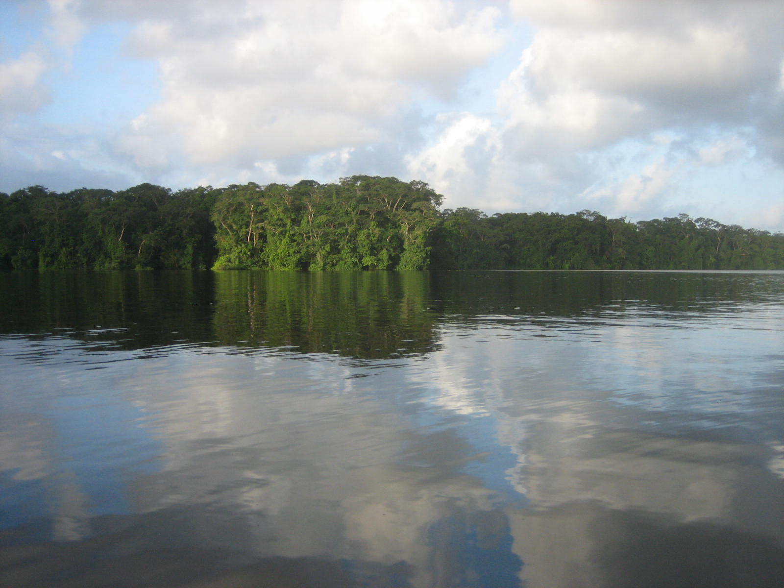
Reflections
The extensive network of freshwater creeks and lagoons behind the beaches of Tortuguero are home to seven species of river turtles, Spectacled Caiman, Southern River Otters, a number of crustaceans, and over 50 species of freshwater fish. If you take a trip on a tour boat, or paddle a canoe through the freshwater canals you are also likely to see Spider, Howler and Capuchin Monkeys and dozens of species of birds. If you are lucky you might spot an endangered West Indian Manatee.

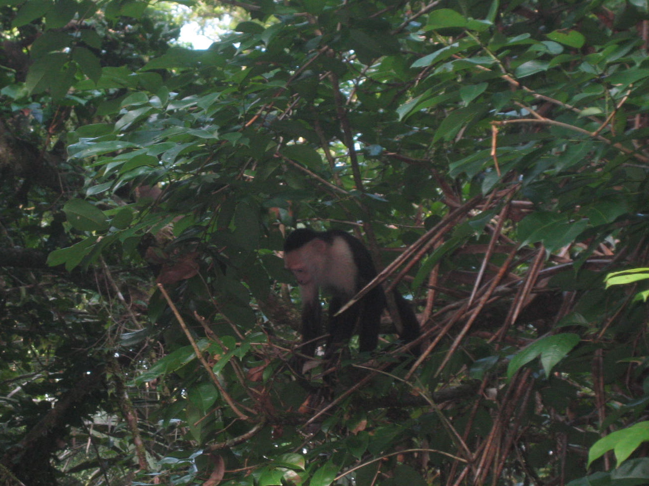
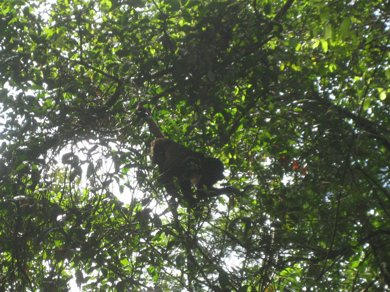
White Faced Capuchin
Native to the forests of Central America and the extreme north-western portion of South America, the white-headed capuchin is important to rainforest ecology for its role in dispersing seeds and pollen.
Among the best known monkeys, the white-headed capuchin is recognized as the typical companion to the organ grinder. In recent years the species has become popular in North American media. It is a highly intelligent monkey and has been trained to assist paraplegic persons. It is a medium-sized monkey, weighing up to 3.9 kg (8.6 lb). It is mostly black, but with a pink face and white on much of the front part of the body, giving it its common name. It has a distinctive prehensile tail that is often carried coiled up and is used to help support the monkey when it is feeding beneath a branch.
In the wild, the white-headed capuchin is versatile, living in many different types of forest, and eating many different types of food, including fruit, other plant material, invertebrates, and small vertebrates. It lives in troops that can exceed 20 animals and include both males and females. It is noted for its tool use, including rubbing plants over its body in an apparent use of herbal medicine, and also using tools as weapons and for getting to food. It is a long-lived monkey, with a maximum recorded age of over 54 years.

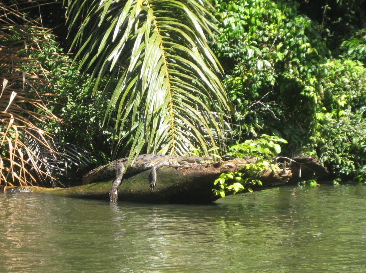
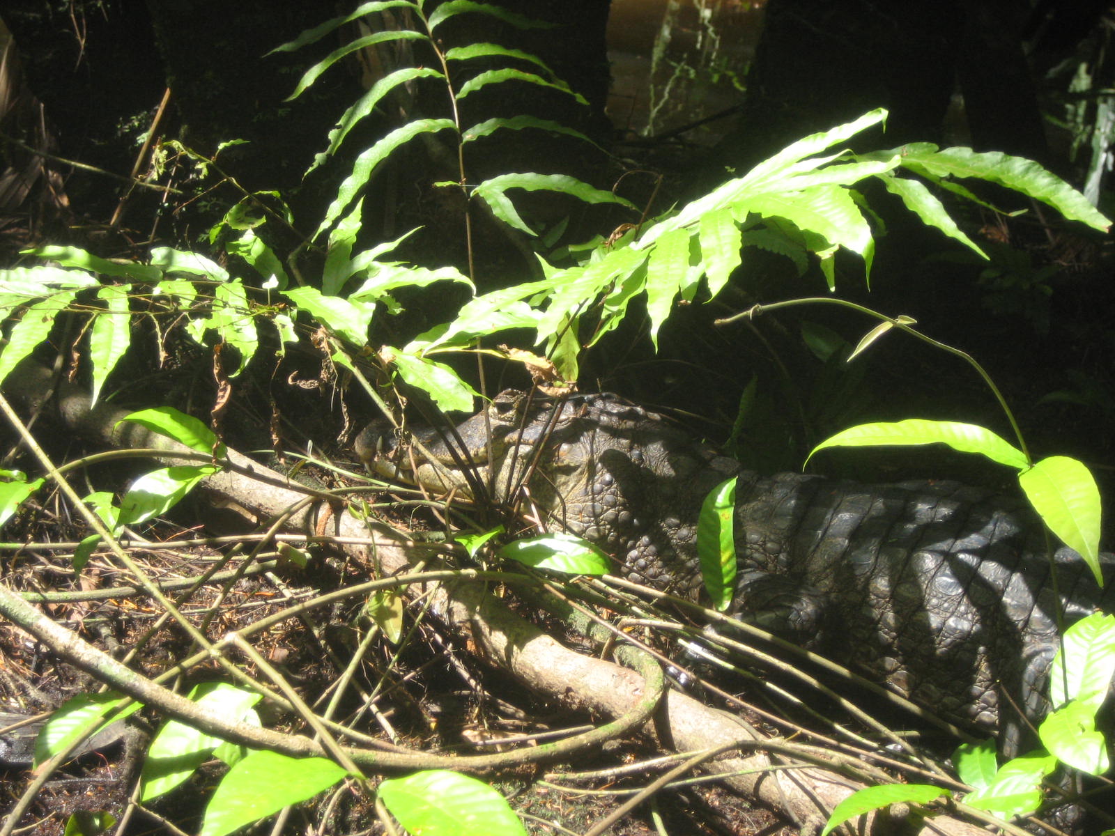
Caiman in the Weeds
2013 research from the journal Environmental Toxicology and Chemistry found that spectacled caimans (Caiman crocodilus) near banana plantations were significantly thinner, and had higher pesticide concentrations in their blood, than caimans in more remote locations. (Watch a video about banana farms in Costa Rica.)
“The animals are very, very thin—about 50 percent thinner than those away from the plantations,” said study co-author Peter Ross, an aquatic ecotoxicologist and associate professor at the University of Victoria in British Columbia.
It’s unclear whether the pesticides are directly toxic to the caimans or are impacting their health indirectly by diminishing the quality and abundance of their food supply.
Ross thinks the latter scenario is more likely given the moderate pesticide concentrations he and his colleagues found. Since all of the pesticides detected were insecticides, the chemicals could be knocking out the bottom of the food chain. This would affect the fish that eat the insects, resulting in caimans having to search farther for food and use more energy to try to find the few fish that remain.

That Fruit Looks Good
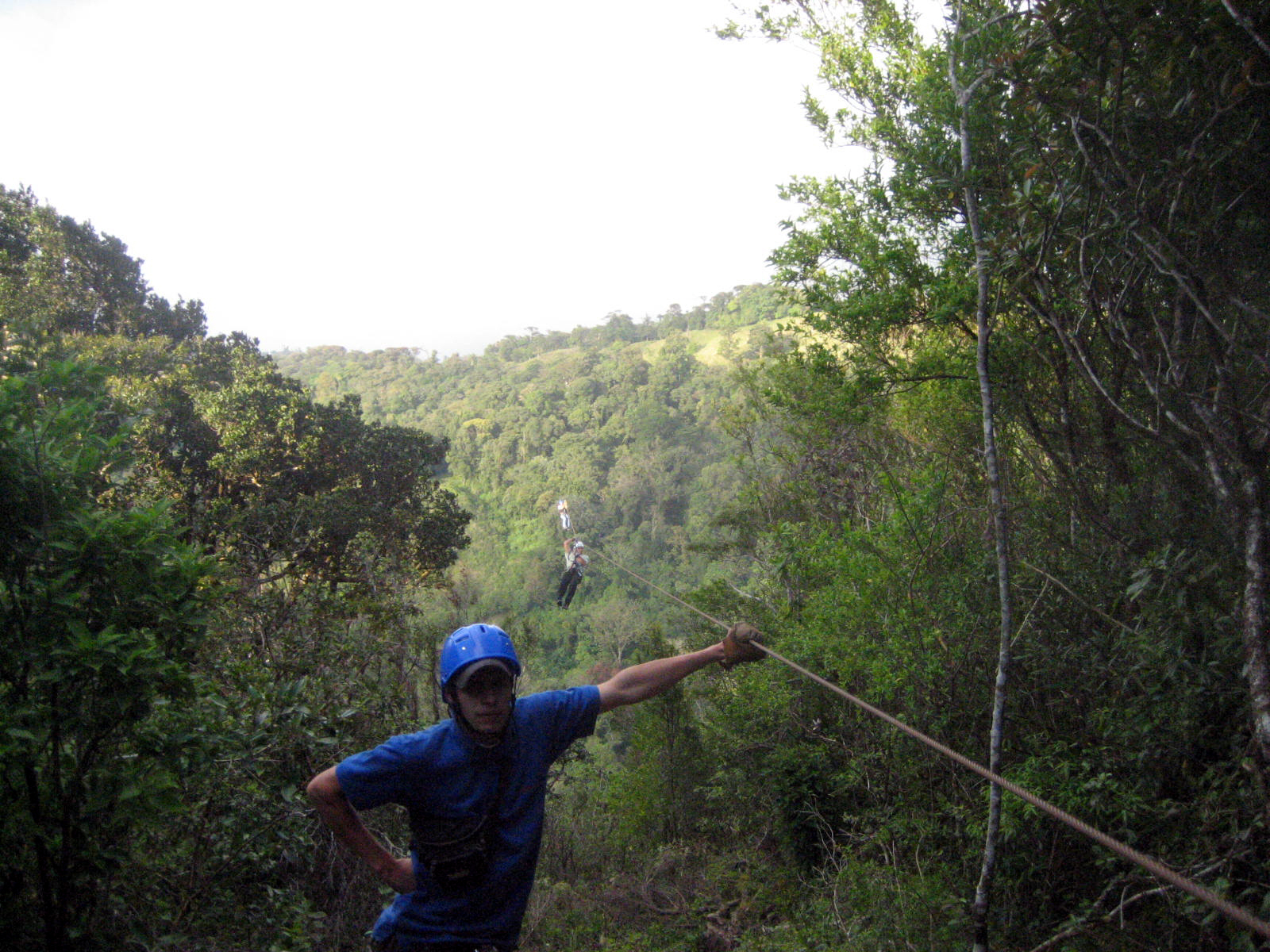
Tortuguero Canopy and Zip Line

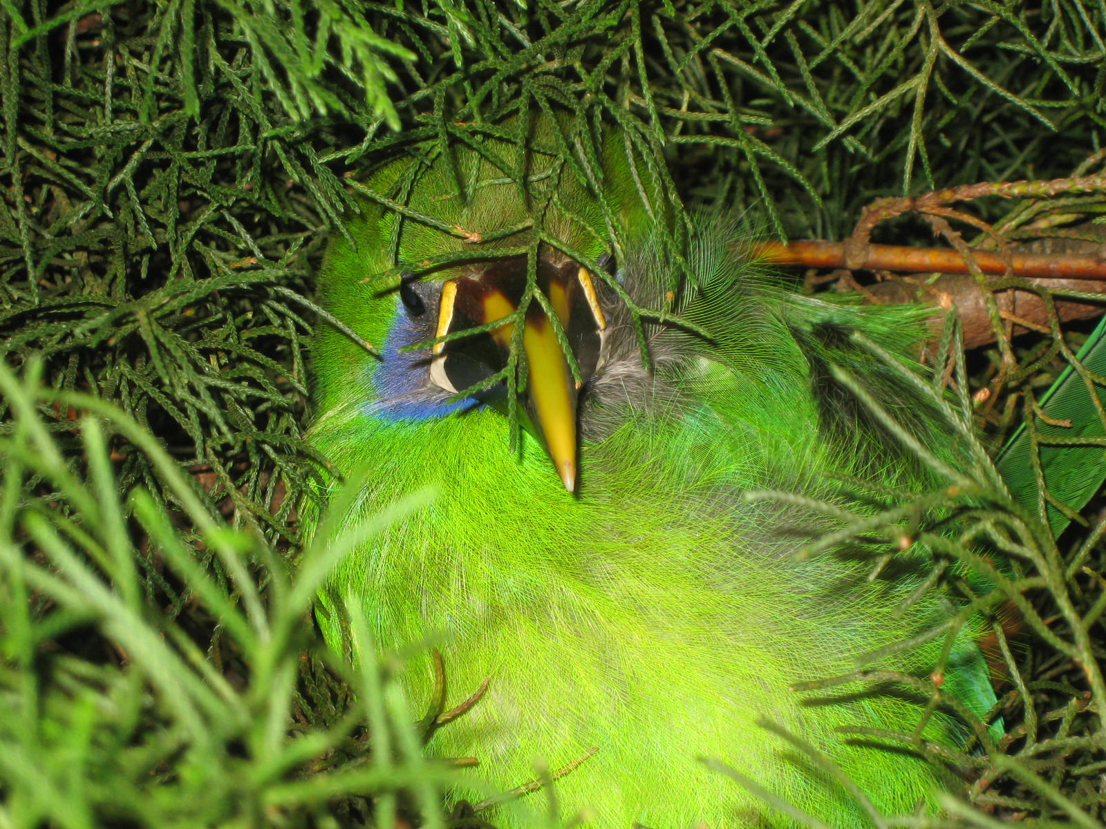
Tucanett on Night Hike
The emerald toucanet (Aulacorhynchus prasinus) is a near-passerine bird occurring in mountainous regions from Mexico, through Central America to northern Venezuela and along the Andes as far south as central Bolivia.
The emerald toucanet is a generally common in humid forest and woodland, mainly at higher elevations. The 3–4 white eggs are laid in an unlined hole in a tree, usually an old woodpecker nest, but sometimes a natural cavity.
The emerald toucanet is a popular pet toucan. It is affectionate when hand-fed and loves to play and interact with its owner. Emerald toucanets are as quick to learn tricks as cockatoos. They are active and need a large cage for their size, including perches that they can hop back and forth on. They also require a high-fruit diet, without which they are susceptible to a disease of excessive iron storage that is similar to hemochromatosis in humans.

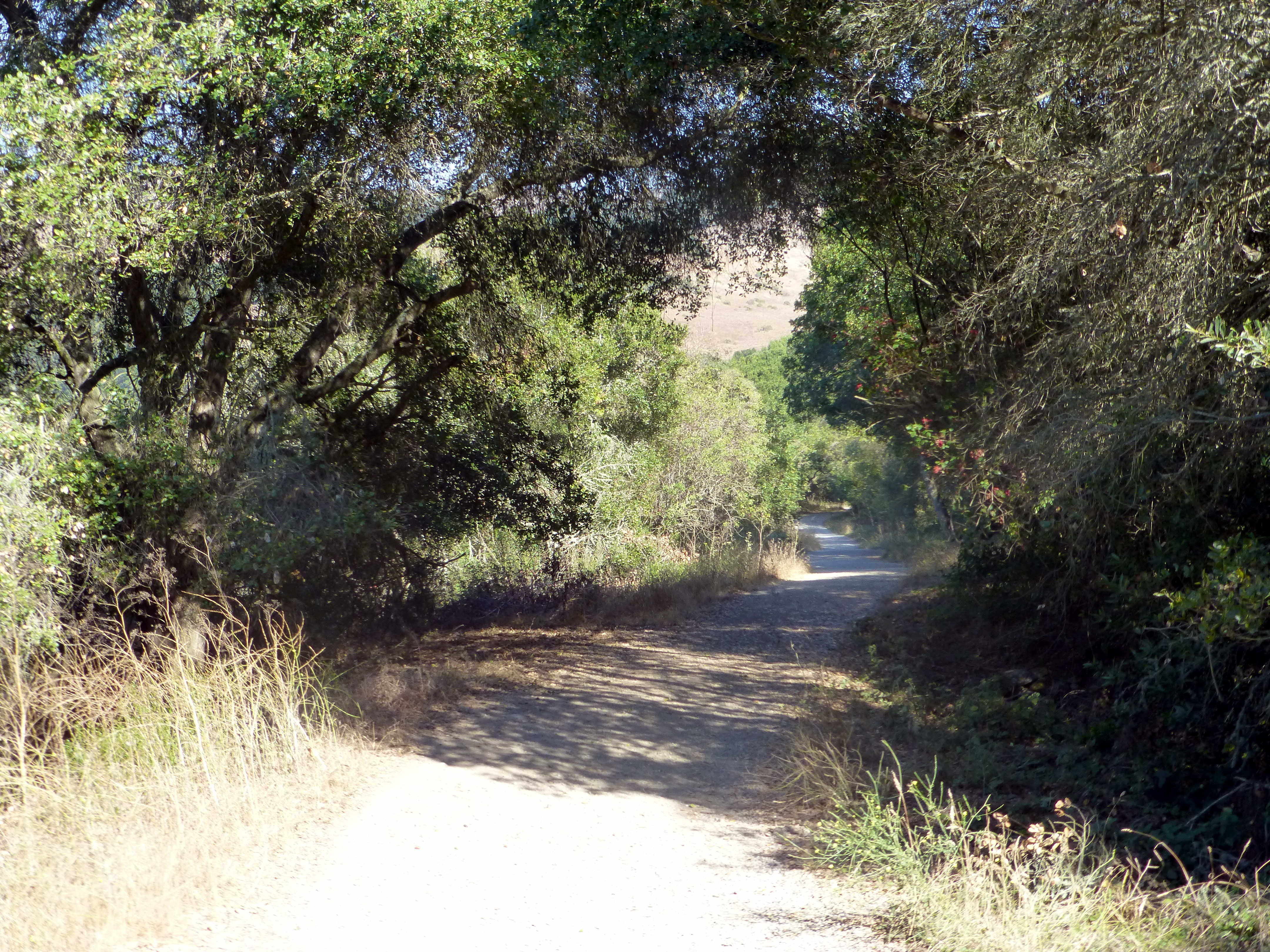
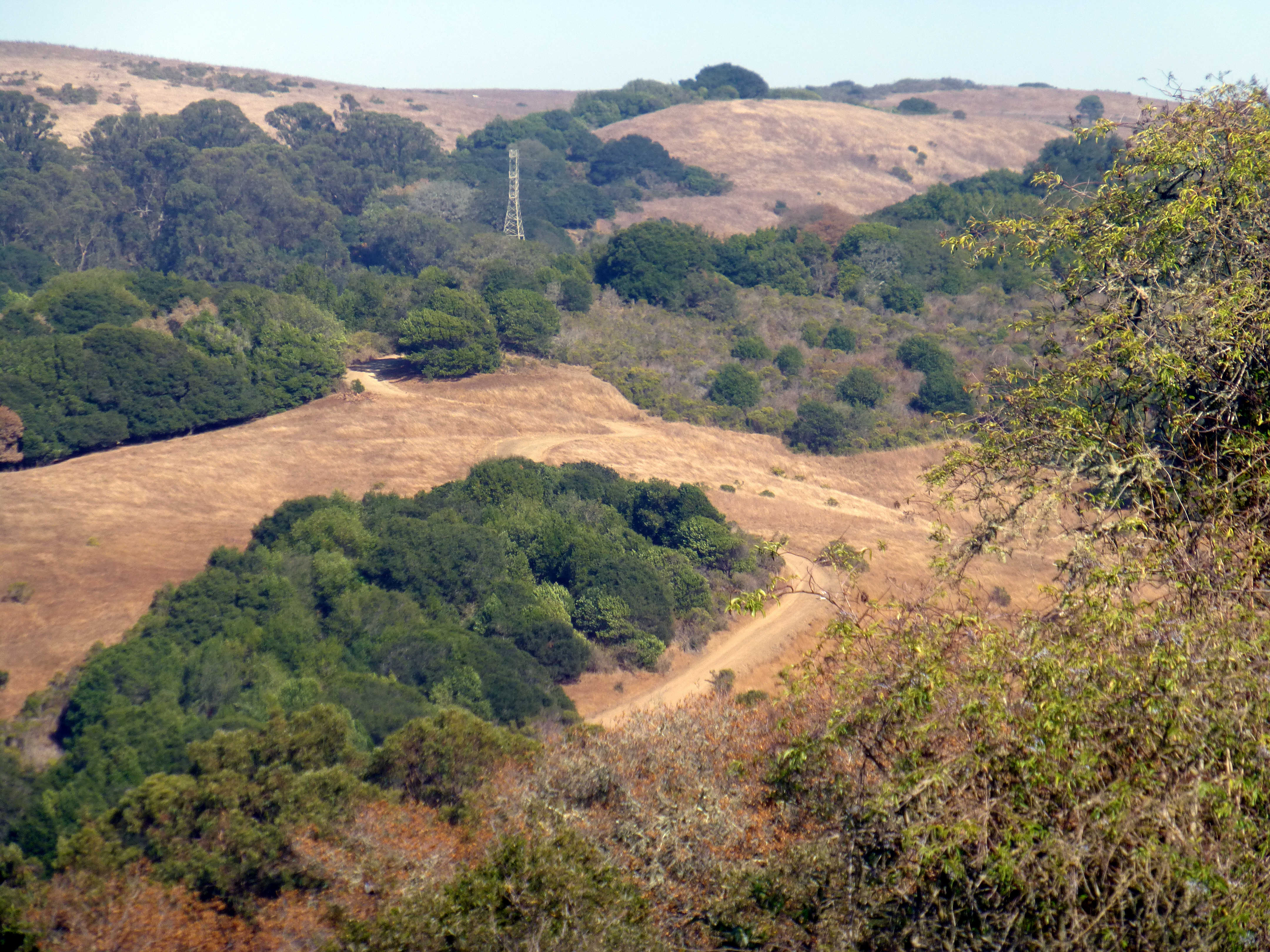
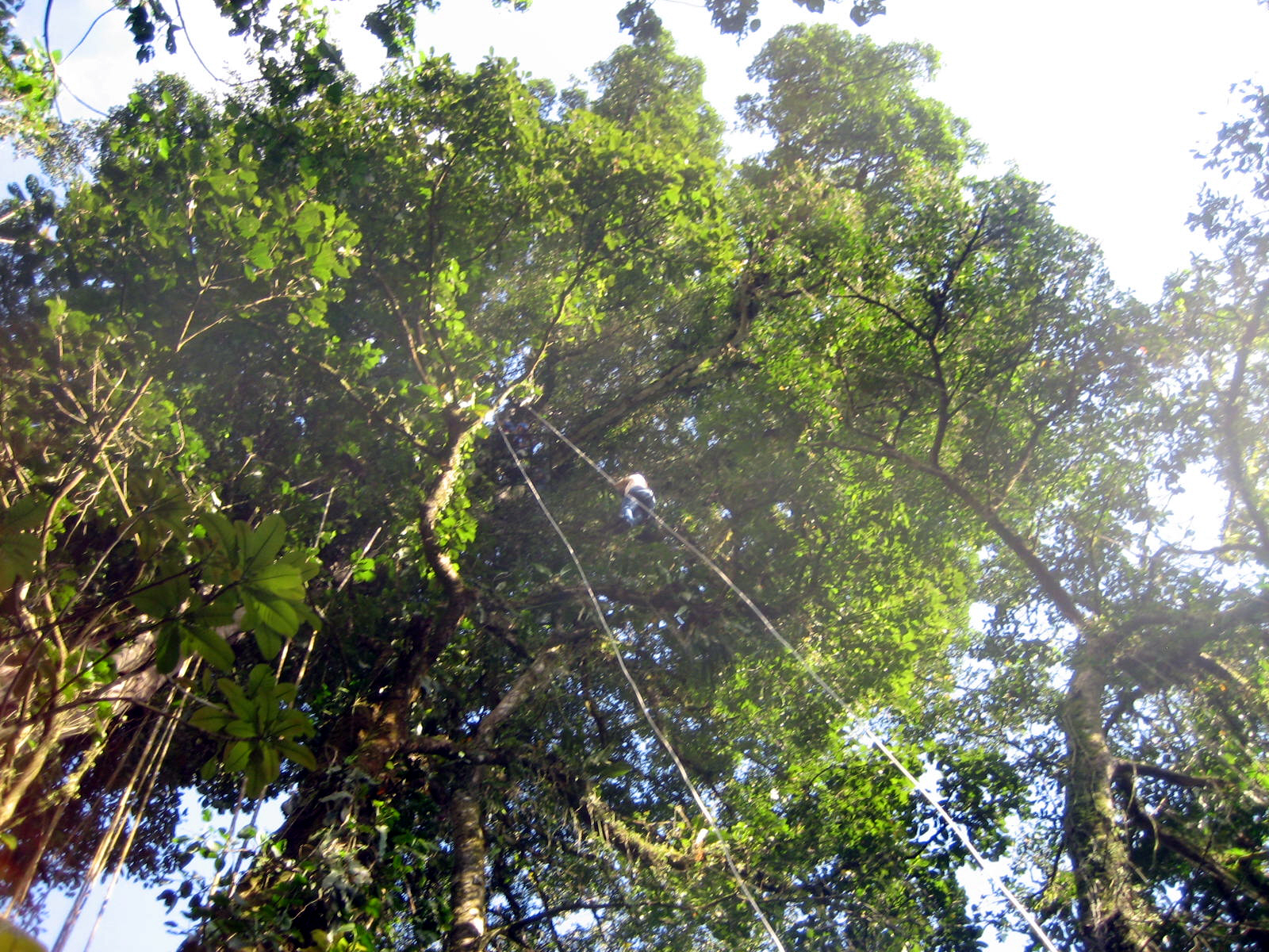
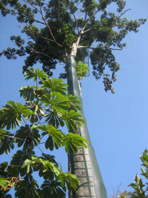
Rappelling in the Rainforest
Monteverde iconic cloud forest was first settled by a community of Quakers who sought to protect their invaluable watershed. Home to such rare fauna as the resplendent quetzal, which is the Maya bird of paradise, Monteverde is partly responsible for Costa Rica’s international fame as an ecotourism hot spot where you can be inspired about the possibilities of organic farming and alternative energy sources.

Home for the day
Which Costa Rica Zipline is the best? Comparing 6 popular canopy tours in Arenal and Monteverde.

Esterillos Este
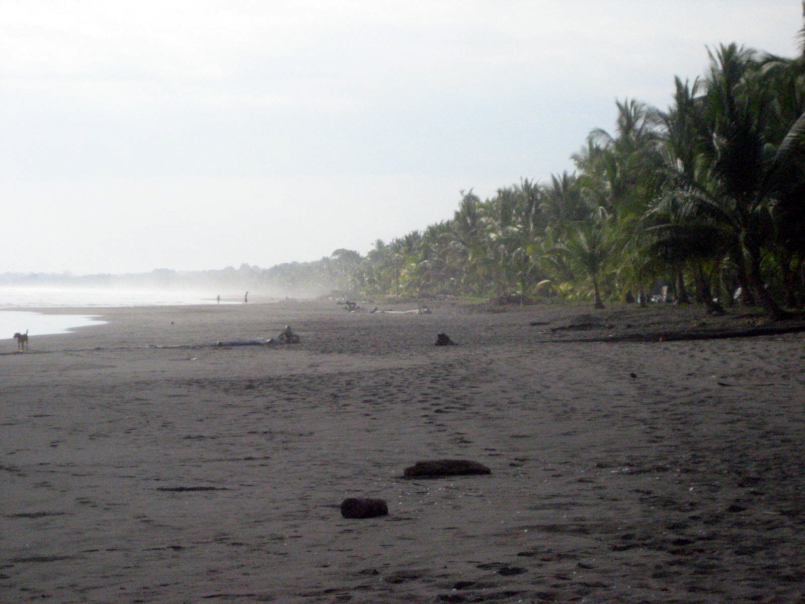
No crowds, chocolate colored beaches, and great surf best describe the beaches of Esterillos. You may never see another person as you stroll down the beaches where palms and almond trees line the forest edge and the clear blue waters invite you to go for a swim. This serene, contiguous stretch of beach is made up of Esterillos Oeste to the west and Esterillos Este to the east, appropriately, where you will find plenty of accommodations laced throughout

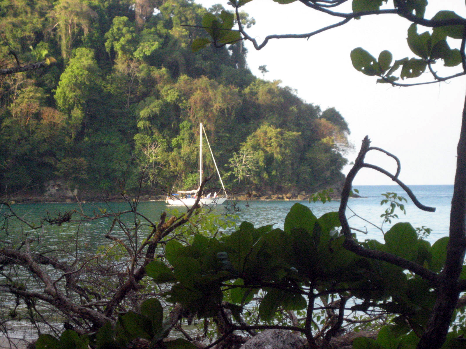
Ceversa y Vela

Manuel Antonio National Park
In 2011, Manuel Antonio was listed by Forbes among the world’s 12 most beautiful national parks. This park has one of the most impressive landscapes of the world and has several coves with many white sand beaches and lush foliage amidst great mountains and forests that reach the beaches. Additionally, it is located in the tropical forest. It has a large land and marine biodiversity with beautiful coral reefs.
Although Manuel Antonio National Park is Costa Rica’s smallest national park, the diversity of wildlife in its 6.83 km2 (3 sq mi) is unequaled with 109 species of mammals and 184 species of birds.

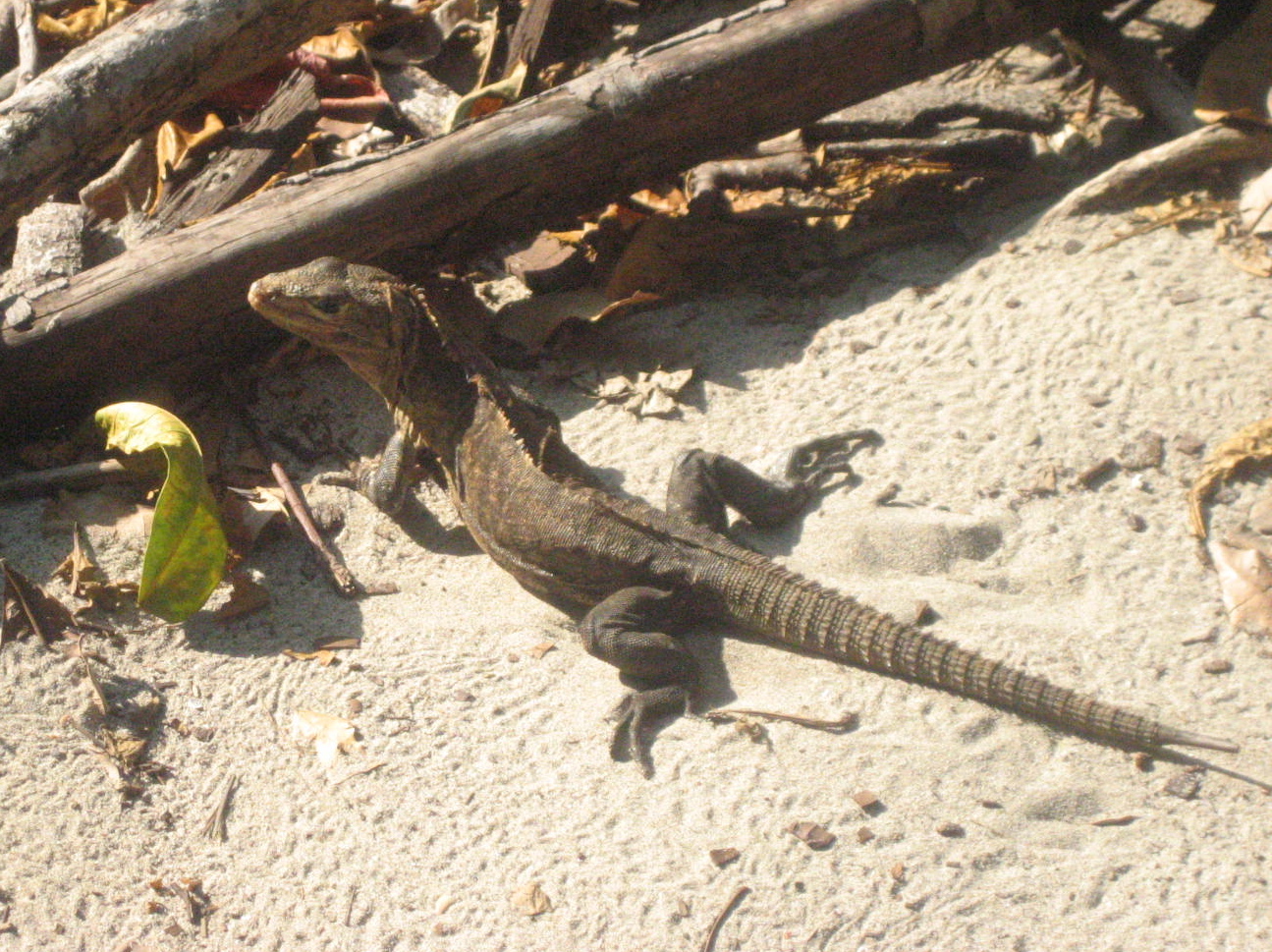
Garrobo
Locals will often point one lizard out as ‘iguana’, and another as ‘garrobo’, with complete assurance, though the untrained eye might see no obvious difference. So is this just a matter of two names for the same creature, or are they different species altogether?
In fact, they are distinct species, though both are called iguana in English, and both belong to the Iguanidae family. The one referred to as iguana in Spanish is the Green Iguana (Iguana iguana). As the name suggests, this full-scale lizard – up to 6ft long! – can sport a distinctive lime-green hue, though Costa Rica’s residents can also be seen in bright rusty tones as well, or graduated shades of green, blue, yellow and orange.
The garrobo, in contrast, includes two species: Ctenosaura similis and Ctenosaura quinquecarinata, known respectively as the Black Spinytail Iguana and the Club Tail Iguana.
They are distinguished by thick, scaly tails, and dark bands across the body, though their coloring can also vary from nearly black, to tan, peach, mossy green and grey-blue. The Costa Rican Black Spinytail holds the record of the world’s fastest lizard, clocking an impressive 21.5 mph, and is considerably larger (up to 4ft) than the Club Tail, which only grows to a foot in length.

Marino Ballena National Park
Marino Ballena National Park is named after the Humpback Whales that migrate here each year from December to April to mate before returning to the frigid waters to the north. Playas Uvita and Ballena are relatively unvisited stretches of white and golden sand. Green marine iguanas (iguana verde) bask in the sun between dives to feed on the algae growing on the rocks and coral. Between the beaches are areas of mangrove habitat.
The largest coral reef on the Pacific Coast of Central America forms a crescent necklace with the three small islands known as Las Tres Hermanas (three sisters) and Ballena island as the center piece. The park stretches from the southern end of Playa Hermosa to the northern end of Playa Piñuela and about 9 miles (15 km) seaward.

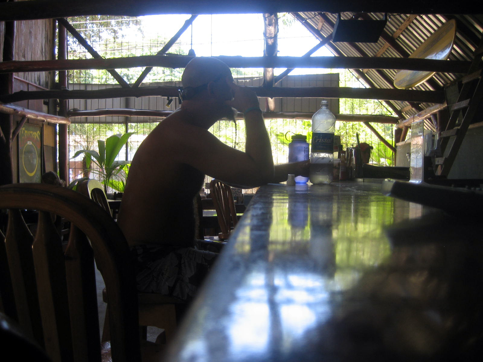
My return ticket is April and it’s cool
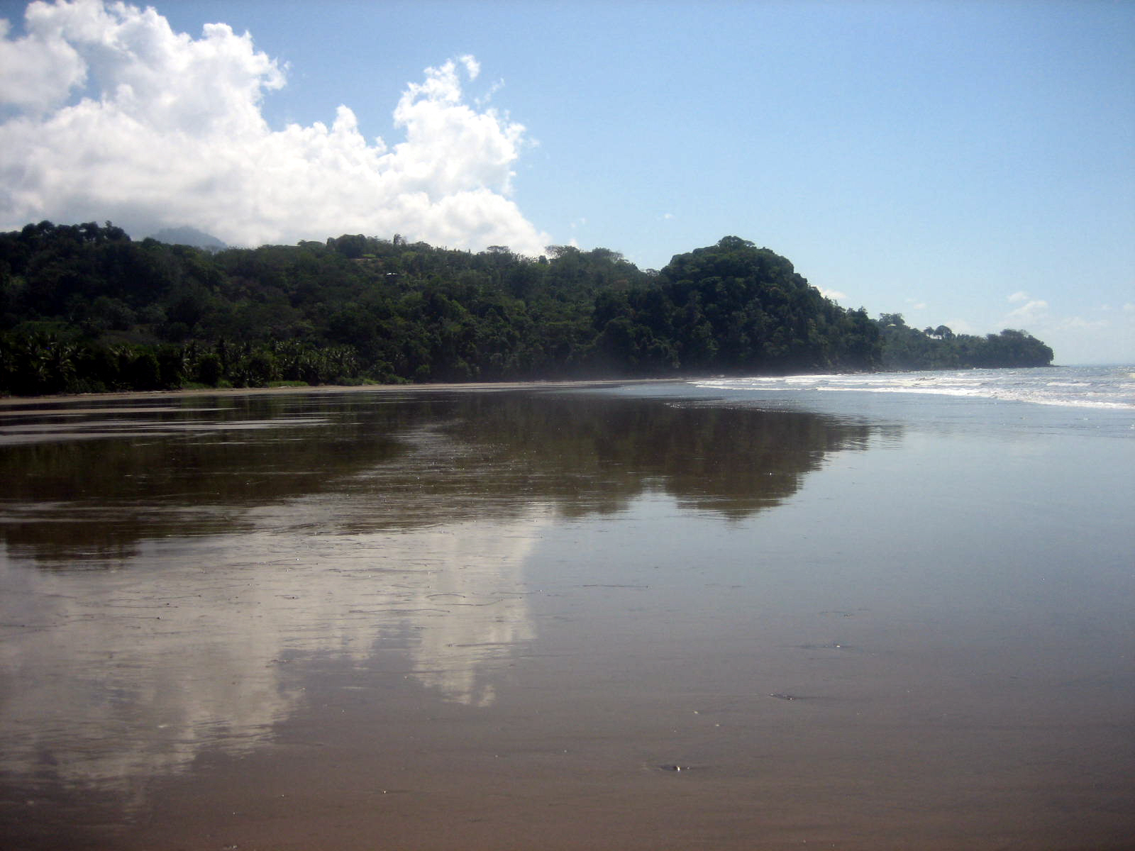
With perhaps the most consistent waves in Costa Rica, Playa Dominical is a haven for surfers. Swimming, however, can be dangerous due to the strong riptides that are found throughout the 2.5 mile (4 km) strip of beach.
The pleasant town of Dominical is relatively small but offers the beach-lover a wide variety of nearby beaches to choose from. Playa Dominicalito is just south of Dominical and is a great spot for beginner surfers and swimmers. At Punta Dominical, on the southern end of Playa Dominicalito, you’ll see the lush green land merge with the rich blue Ocean. It is a great spot to watch the ocean’s waves crash onto the rocky shore below and see a near perfect sunset almost year round. Other activities include treks to nearby waterfalls including the Nauyaca Waterfalls (7.5 mi from Dominical on Hwy 243), canopy tours, horseback riding, deep sea fishing, sea kayaking, scuba diving and snorkeling.